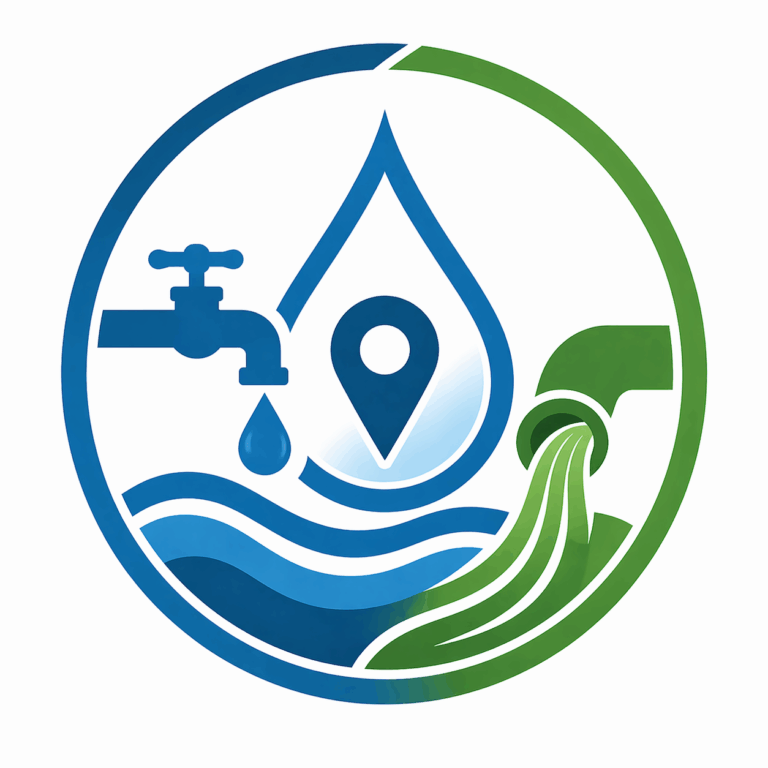
The Ventura County PWA GIS app suite is anchored by a comprehensive PWA GIS Viewer that brings together map layers, parcel and address search, service-area discovery, and other countywide geographic tools in one easy-to-use platform. Building on that foundation, focused applications such as Survey Records, Water and Sanitation Districts, and Trash and Recycling Provider help residents quickly access the specific location-based information and services they need.
The venturacounty.gov website has been translated for your convenience using translation software powered by Google Translate. Reasonable efforts have been made to provide an accurate translation, however, no automated translation is perfect nor is it intended to replace human translators. Translations are provided as a service to users of the Ventura.org website, and are provided “as is.” No warranty of any kind, either expressed or implied, is made as to the accuracy, reliability, or correctness of any translations made from English into any other language. Some content (such as images, videos, Flash, etc.) may not be accurately translated due to the limitations of the translation software.
The official text is the English version of the website. Any discrepancies or differences created in the translation are not binding and have no legal effect for compliance or enforcement purposes. If any questions arise related to the accuracy of the information contained in the translated website, please refer to the English version of the website which is the official version.